
Commuting and Getting Around Scripps Ranch in San Diego, CA
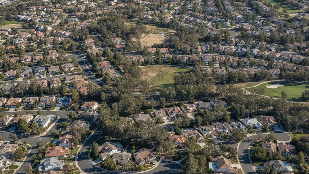
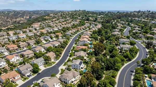
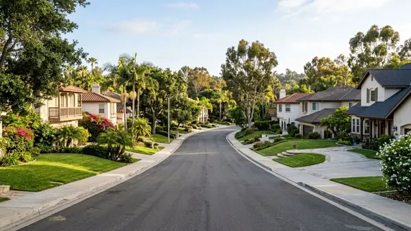
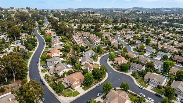
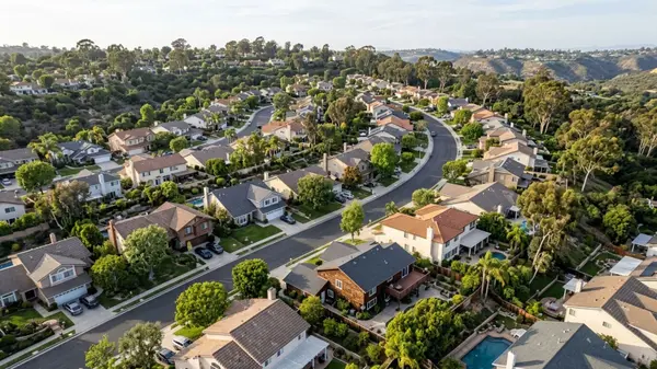
Scripps Ranch sits in the northeastern part of San Diego, bordered by Interstate 15 to the west and the city of Poway to the east. The neighborhood is built around Miramar Reservoir and features a predominantly suburban layout defined by winding residential streets, mature eucalyptus trees, and varied elevations. Buyers moving to this area generally rely on personal vehicles to travel to nearby commercial hubs and coastal destinations. Connecting with the best real estate agent in Scripps Ranch San Diego helps these buyers find homes with convenient access to their daily routes.
The local real estate market reflects strong demand for this location, with the median sale price hovering around $1,250,000 as of mid-2026. Available homes sell in an average of 25 days, and buyers often prioritize properties based on their proximity to major freeway on-ramps. Understanding the local road network and transit options helps residents plan their daily travel across San Diego County.
Road Networks and Highway Access
Interstate 15 serves as the primary north-south corridor for Scripps Ranch residents. This major freeway forms the western boundary of the community, providing direct connections to State Route 52, State Route 163, and Interstate 8. Drivers use these interchanges to reach major employment centers like Mission Valley and the coastal neighborhoods.
Traffic flow on I-15 includes dedicated Express Lanes, which require a FasTrak transponder for solo drivers but allow carpools to bypass standard congestion. During the morning commute, southbound lanes see the highest volume of vehicles heading toward central San Diego. The northbound lanes fill up during the evening return trip as professionals head home.
Main Arteries and Surface Streets
Within the community boundaries, Scripps Poway Parkway acts as the main east-west connector. This multi-lane road links the I-15 corridor directly to Poway, CA, passing through commercial centers and industrial parks along the way.
Pomerado Road functions as the primary local thoroughfare running north to south through the eastern half of the neighborhood. While it operates as a two-lane road in most sections, it handles significant daily traffic. Residents use this route to reach local schools, parks, and nearby retail plazas without requiring freeway access.
Drive Times to Major Employment Centers
Daily travel times rely entirely on departure hours and the specific destination. Most professionals commuting out of the neighborhood head toward three main commercial hubs in the region.
-
Sorrento Valley: The drive west along Mira Mesa Boulevard typically takes 15 to 20 minutes during standard morning hours.
-
University City (UTC): Reaching the UTC area via I-15 South and SR-52 West generally requires a 15- to 25-minute trip.
-
Downtown San Diego: Traveling south on I-15 into the downtown core takes roughly 20 to 30 minutes, though evening return trips often stretch longer.
Public Transit and MTS Bus Routes
The San Diego Metropolitan Transit System (MTS) operates Route 964 through the center of Scripps Ranch. This local bus line travels along Scripps Ranch Boulevard and Mira Mesa Boulevard. It provides scheduled stops near major residential tracts and retail centers.
Route 964 terminates at the Miramar College Transit Station just west of I-15. This station functions as a major regional transfer point, allowing riders to connect to the broader MTS Rapid bus network. From here, Rapid 235 offers direct service to Downtown San Diego, while Rapid 237 runs west toward the University of California, San Diego (UCSD) campus.
While public transit is available, most residents find that bus routes serve specific point-to-point trips rather than comprehensive neighborhood coverage. Commuters utilizing the MTS system should factor in walk times to the nearest bus stop. They should also account for potential transfer waits at the Miramar College hub.
Biking Infrastructure and Walkability
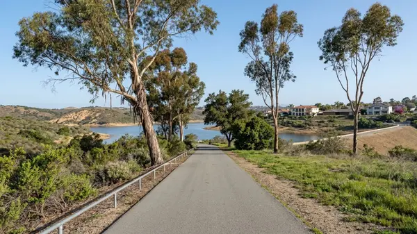
Miramar Reservoir features a 5-mile paved loop that restricts motorized vehicles. This makes it the most active pedestrian and cycling path in the area. Residents use this flat, continuous circuit for exercise, dog walking, and recreational biking year-round.
Beyond the reservoir, cycling on local streets requires sharing the road with vehicle traffic. Pomerado Road and Scripps Ranch Boulevard include designated Class II bike lanes, which are striped lanes on the shoulder of the roadway. The varied elevation and steep hills in many residential enclaves make electric bikes a popular choice for running short local errands.
Walkability varies by subdivision. Homes built near the commercial centers along Scripps Poway Parkway offer shorter walks to grocery stores and restaurants. However, the majority of the neighborhood features a traditional suburban design, meaning residents generally drive to reach commercial amenities, dining, and retail.
Frequently Asked Questions
How far is Scripps Ranch from Downtown San Diego?
The neighborhood is located about 17 miles northeast of the downtown core. Driving down Interstate 15 takes roughly 25 minutes in light traffic. Rush-hour congestion can extend that trip past 40 minutes.
Is Scripps Ranch walkable for running daily errands?
Most of the community requires a car for daily tasks like grocery shopping or dining out. A few subdivisions near Scripps Poway Parkway offer short pedestrian routes to retail plazas. The overall Walk Score remains low due to the spread-out suburban layout.
How do I get to San Diego International Airport (SAN) from Scripps Ranch?
The most direct route to SAN is driving south on I-15, merging onto SR-163 South, and taking the airport exit near downtown. The 20-mile trip generally takes 30 minutes by car. Rideshare services like Uber or Lyft are readily available in the neighborhood for airport transfers.
What MTS bus routes or public transportation options serve the Scripps Ranch area?
MTS Route 964 is the primary local bus line, running through the neighborhood and connecting to the Miramar College Transit Station. At that station, riders can transfer to Rapid 235 for southbound trips. They can also catch Rapid 237 for coastal destinations.
How long is the typical morning commute from Scripps Ranch to nearby San Diego employment centers like Sorrento Valley or UTC?
Drivers heading to Sorrento Valley should plan for a 15- to 20-minute trip along Mira Mesa Boulevard. Reaching the UTC area via SR-52 typically takes 15 to 25 minutes. These times depend entirely on the exact departure hour.
What are the worst traffic bottlenecks on the I-15 or local roads when driving in and out of Scripps Ranch?
The I-15 southbound on-ramps at Miramar Road and Carroll Canyon Road frequently back up between 7:00 AM and 8:30 AM. Locally, the intersection of Scripps Poway Parkway and Spring Canyon Road often sees congestion. This happens most often when nearby schools start and dismiss for the day.
Are there dedicated bike lanes or safe cycling routes for commuting within Scripps Ranch?
Striped Class II bike lanes run alongside vehicle traffic on major corridors like Pomerado Road and Scripps Ranch Boulevard. For off-street riding, cyclists frequent the 5-mile paved loop surrounding Miramar Reservoir. This recreational path does not connect directly to commercial transit routes.
Categories
Recent Posts
GET MORE INFORMATION